I went Mudanya/Bursa to see Kapanca Ancient Harbor from Istanbul, my home. Along the way, I was astonished by the view of both Yalova-Bursa road and Mudanya shoreline. Unfortunately, I couldn't take any photos of the roads.
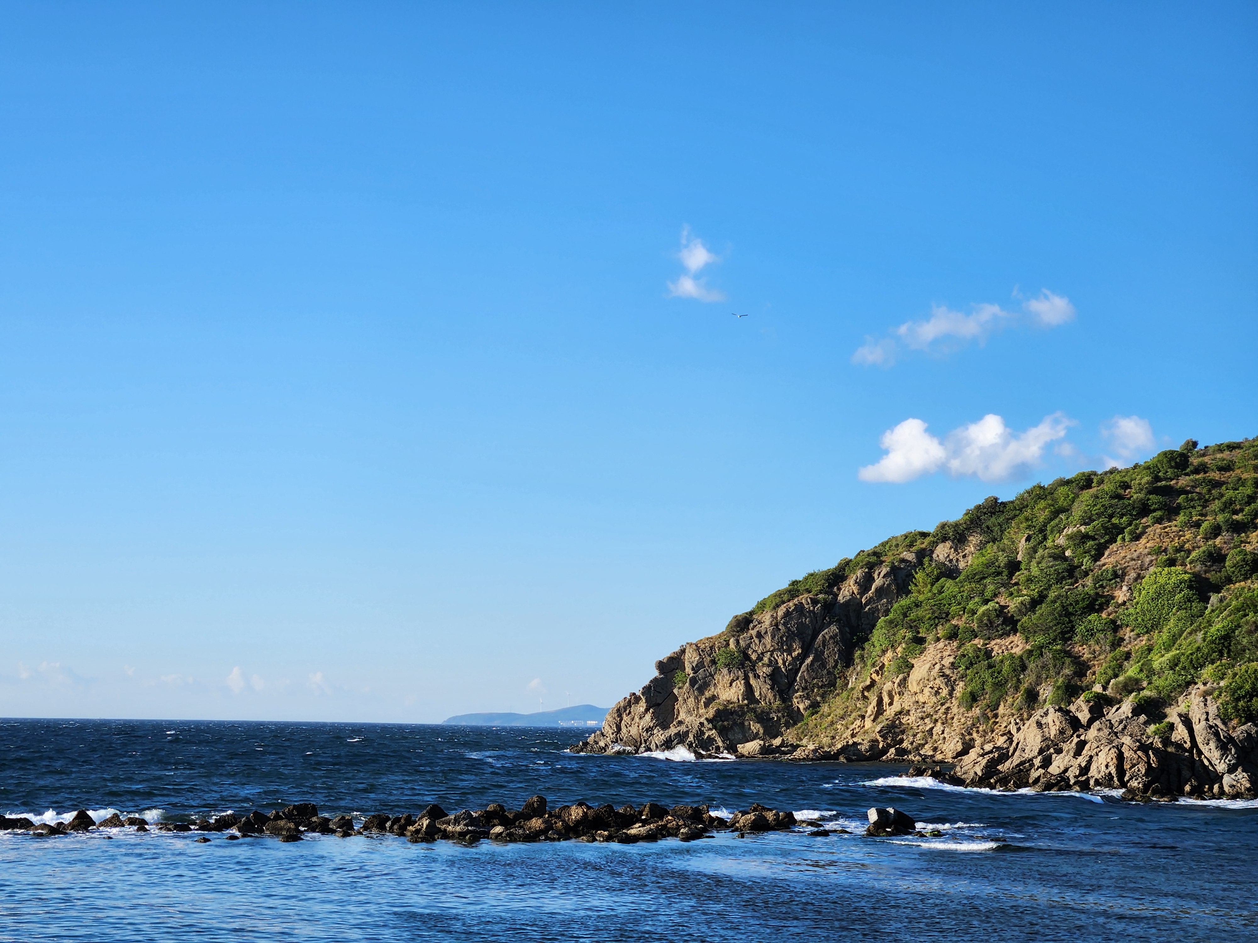
Harbor was neither big nor small. There were also hills near the harbor, which supplied enough room for people to enjoy view. The natural shape of the harbor is really interesting: Crescent. The rocks inside the sea are very small. They probably won't hold any waves if there were to be. But they look nice in summer, or any day without waves.
There were some small boats at the beach. I sat one of them to rest, which was turned upside down. Then wrote some thoughts to my notebook. I don't know if big ships ever ported here in the history, but it seemed that boat was the biggest that place can host.
My Route
I had to pass Yalova to arrive Bursa. I chose to take the ferry and not the Osmangazi Bridge bacause of the high toll prices. And I am glad that I took the ferry. The D575, a.k.a Yalova-Bursa road was awesome.
After I arrived to Gemlik, I followed the shoreline (Gemlik-Mudanya road). Overall, the view was great. There was a village that I really liked because of where it is placed: Altıntaş. If I were to pass that road again and have spare time, I will probably visit that village.
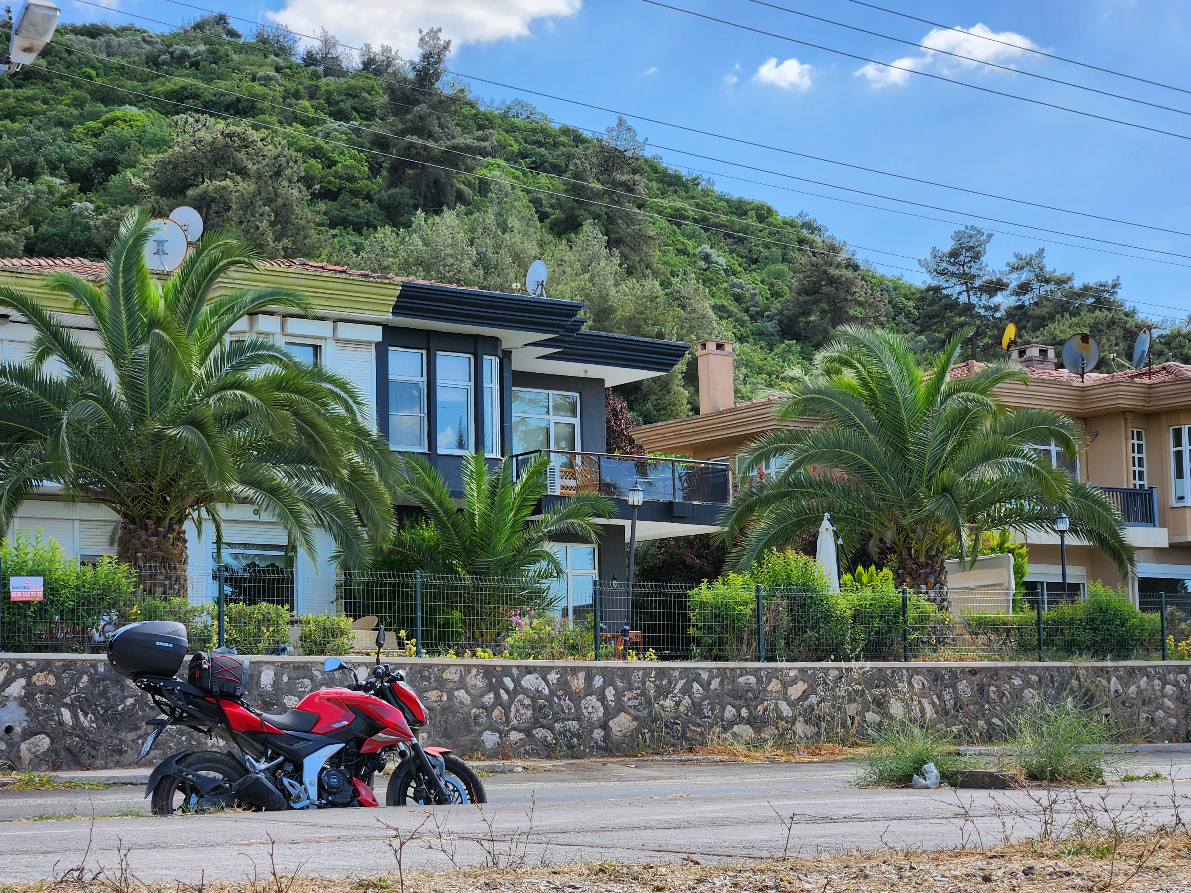
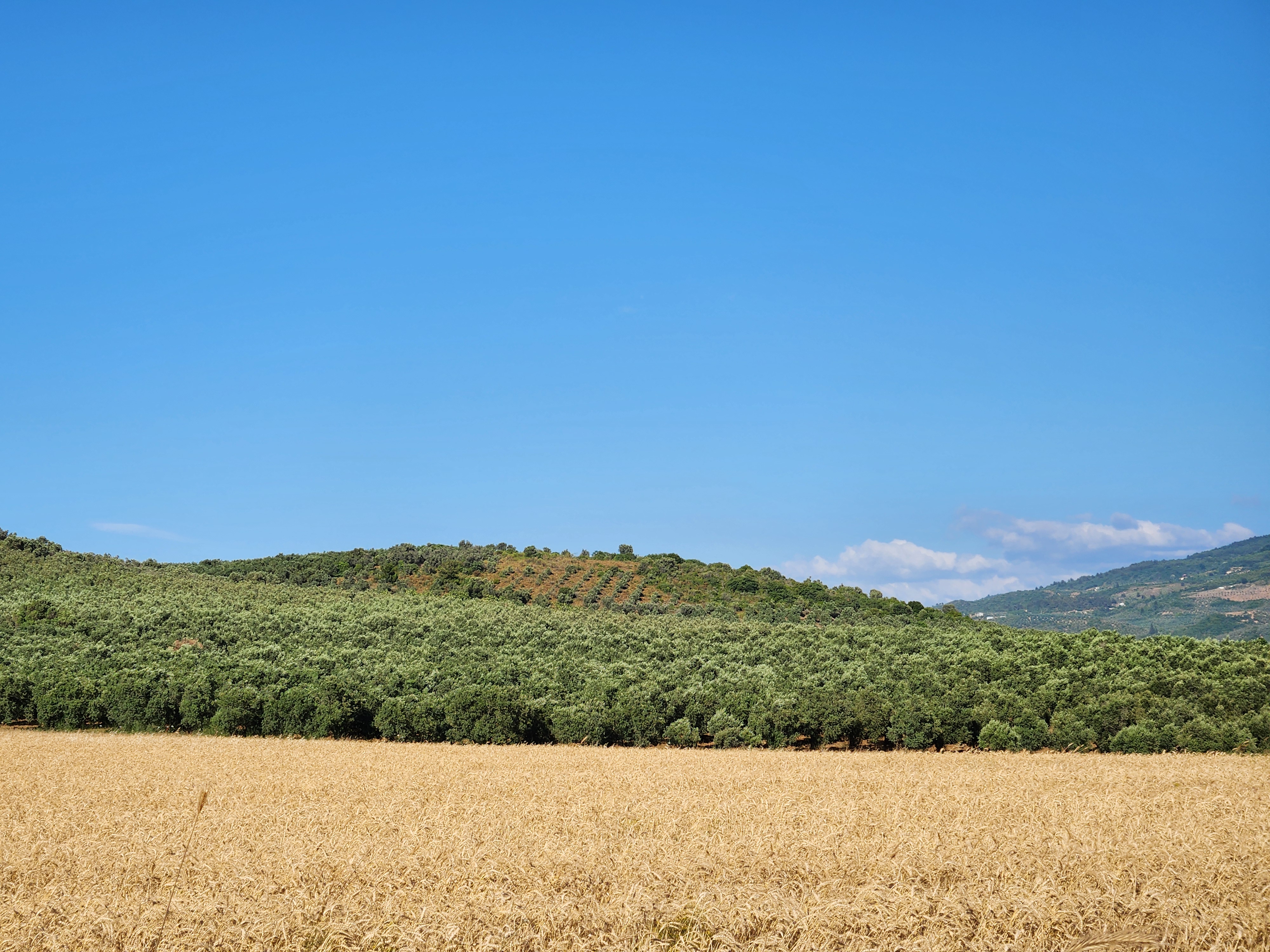
Finally, I had to take my motorcycle offroad. To be honest, road was a bit harsh for my Pulsar. But the view was great. There were so many farm fields and the altitude was a quite high for a place that is near the coast. Nevertheless, it was breathtaking.
Google Maps suggested me to go to the top of the hill near that harbor. Which is most of the photos you see online. Because I don't have a phone holder and just listen the sound guidance, I followed it without knowing. But the road was blocked by so many ways. I am not sure if it is dangerous for vehicles to pass that road or some other thing that people shouldn't go is at the top. So I went back, being disappointed. Saw another way that goes that direction and took it. Glad I did because that was the actual route. Harbor was on my right after the signs.
High altitude near the coast means a steep descend. Cherry on top: Soft terrain. I didn't realize terrain was soft and lost control at a speed of ~15 kph, which is a lot considering steepness. Fortunately I was very lucky and didn't fall. Please be more careful than me if you were to go there.